TIERRA DEL FUEGO – “THE END OF THE WORLD”
Jan 07, 2014
Rio Gallegos – Tolhuin
Odometer km 71374 – 71967
In the morning the wind is still blowing hard, albeit not as fierce as yesterday. The 50-something km from this boring oil town to the Chilean border go by quickly, but then I’m stuck for two hours in the agonizingly slow and inefficient procedures at the joint Argentine-Chilean border control office.
It is not permitted to bring fresh fruit, vegetables and animal products into Chile, so I eat my last apple and – after quite some deliberation (should I smuggle or should I not?) – I give all my yummy Argentine jamon crudo, salami and farm-made cheese to two young guys at the road side trying to hitch a hike North. At least I got two happy faces in return 🙂
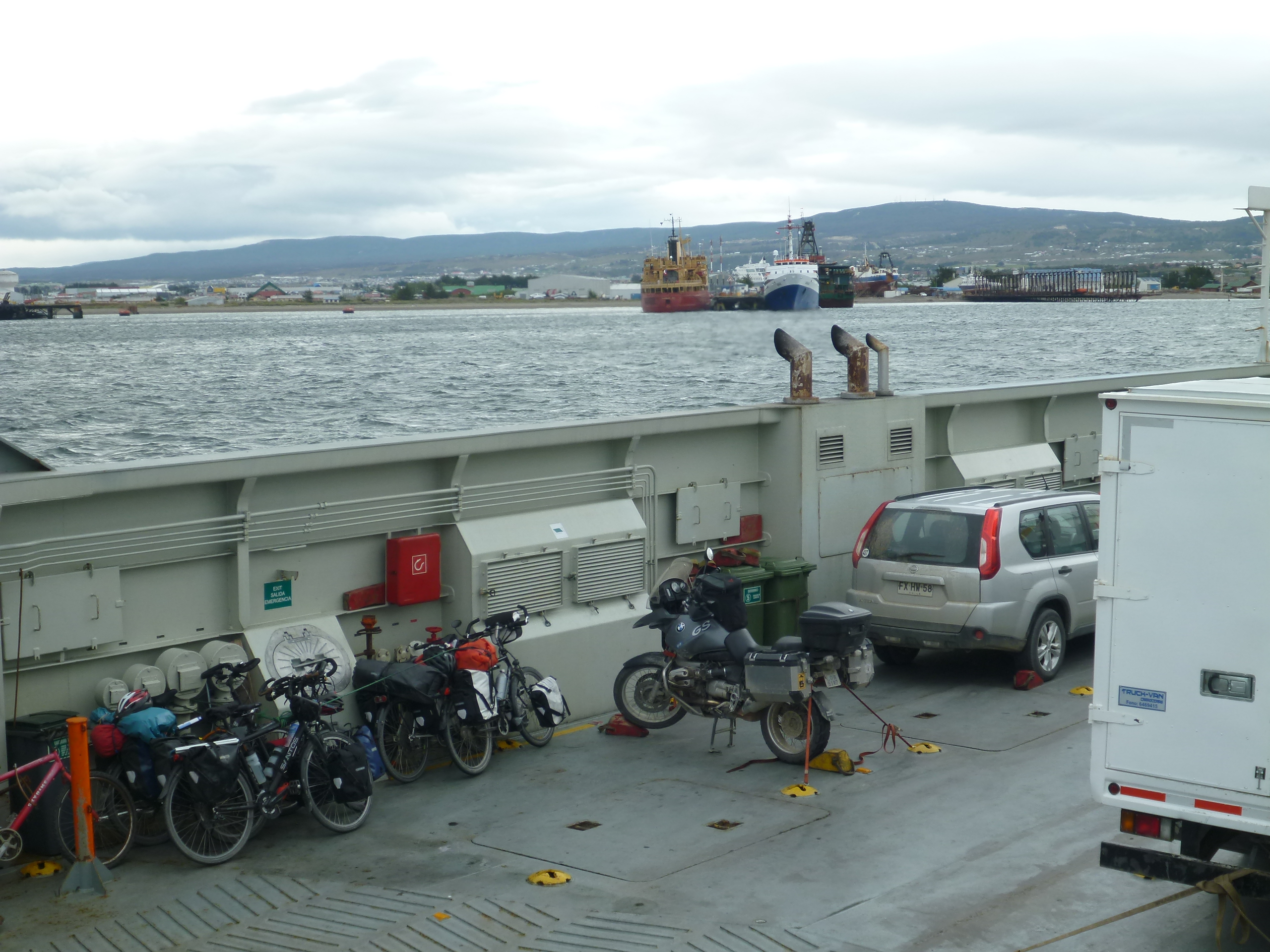
A few kilometers past the border I get to the ferry crossing the Strait of Magellan. About 30 minutes later I roll of the boat onto the soil of Tierra del Fuego. Here I am, at the end of the world! Well, almost…
Only later it dawns on me that the ferry staff never charged me for the ride. Did they forget or do they just like bikers?

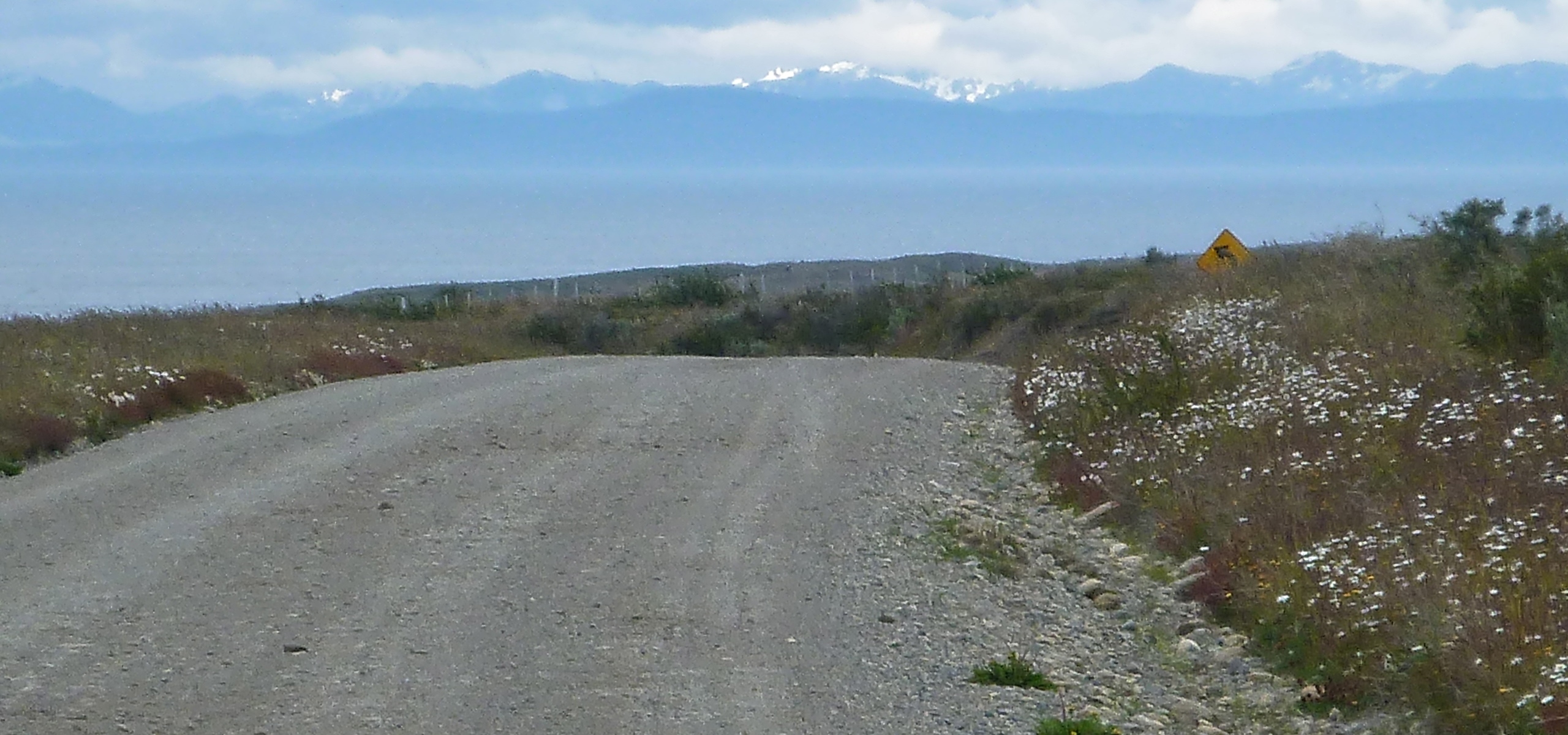
The road to the end of the world
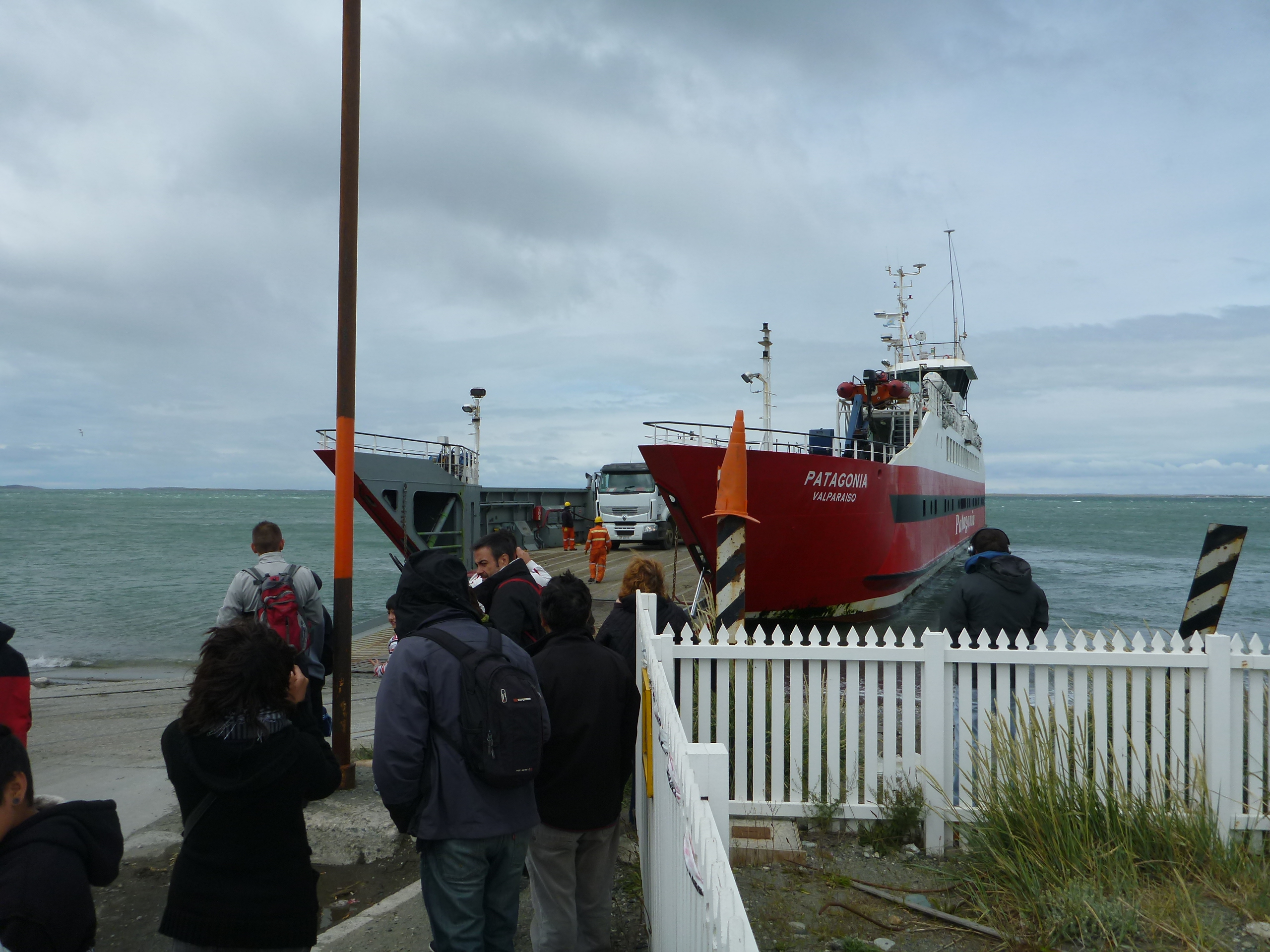
Ferry to Tierra del Fuego
Cerro Sombrero is the last opportunity to get gas for more than 120 km. I make a left into the village and find the rickety gas station, but there is no one save the sleeping driver of a truck standing next to the pump. The explanation is displayed on a sheet of paper taped to the window of the attendant’s cabin: Lunch break until 15:30! Oh well…
Trying to make best use of the wait, I go look for a place to get some food, but there’s no open restaurant or store in the whole damn village. Finally I give up and return to the gas station, which is supposed to reopen in a few minutes.
A car with a young couple and a little boy inside gets in line behind me. We chat for a while about my journey and about the man’s life as a carabinero in Porvenir, a town on the Western end of the island. As soon as I mention my pointless quest for food, they offer me some of their snacks. Before I get going, I let them take pictures of the little boy sitting on my bike. Really nice people!
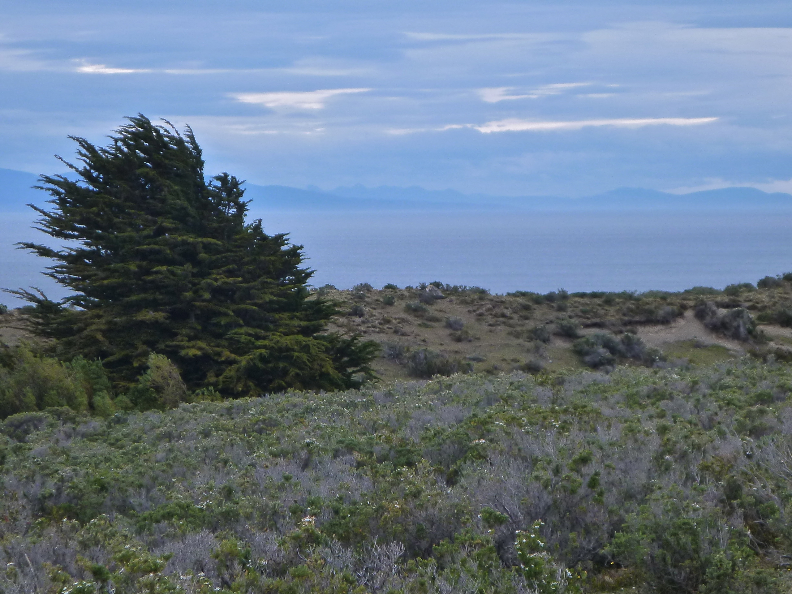
12 km past Cerro Sombrero I’m on unpaved road again. However, the following 120 km of gravel feel like a piece of cake compared to what I’ve been through in previous instances. The BMW is playing on its strengths, giving me a smooth and swift ride in defiance of the numerous bumps and holes in the road. Today I’m almost having fun with this! Only a few days ago I wouldn’t even have thought of going up to 110 kph on a gravel road. Maybe all the training of the last weeks is finally paying off? Or is this just sudden over-confidence? I contain myself and slow down to 70 – 80 kph. More time and attention to appreciate the colors of the wildflowers left and right…
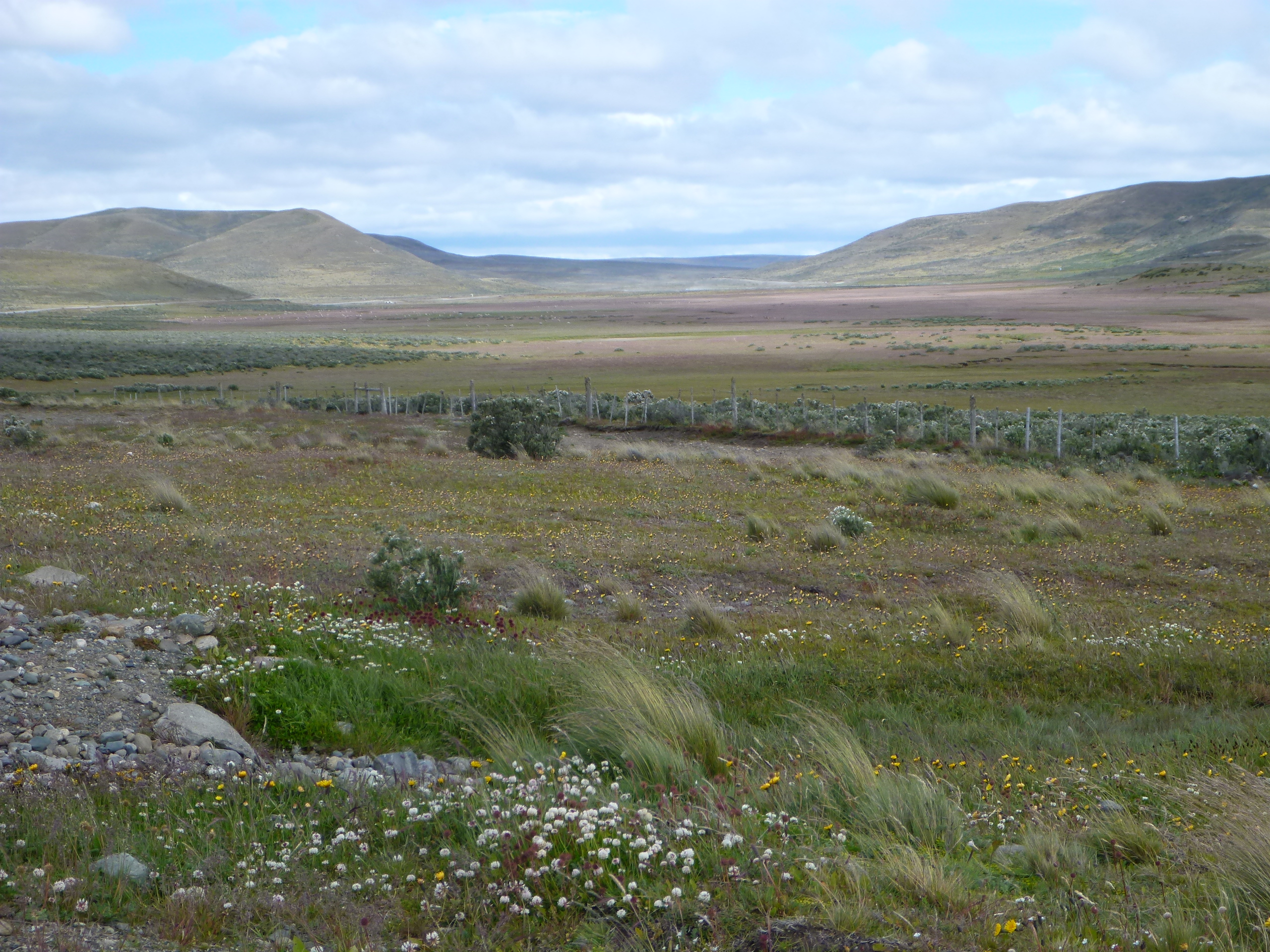
Cerro Sombrero to San Sebastian
In San Sebastian I’m returning to Argentina and the asphalt road begins again. The cross-border inconsistency of road infrastructure on many routes connecting Argentina and Chile speaks volumes about the rocky, often adversarial relationship between the two countries.
I endure another 150+ km of flat, monotonous terrain before the landscape is finally beginning to change. Trees! And real mountains in the background! Due to the delays at the border and in Cerro Sombrero it’s too late to get to Ushuaia before nightfall. I stop for the night at Hotel Rutalsur, a very nice and affordable lodge off Route 3 right past Tolhuin.
Jan 08, 2014
Tolhuin – Ushuaia
Odometer km 71967 – 72075
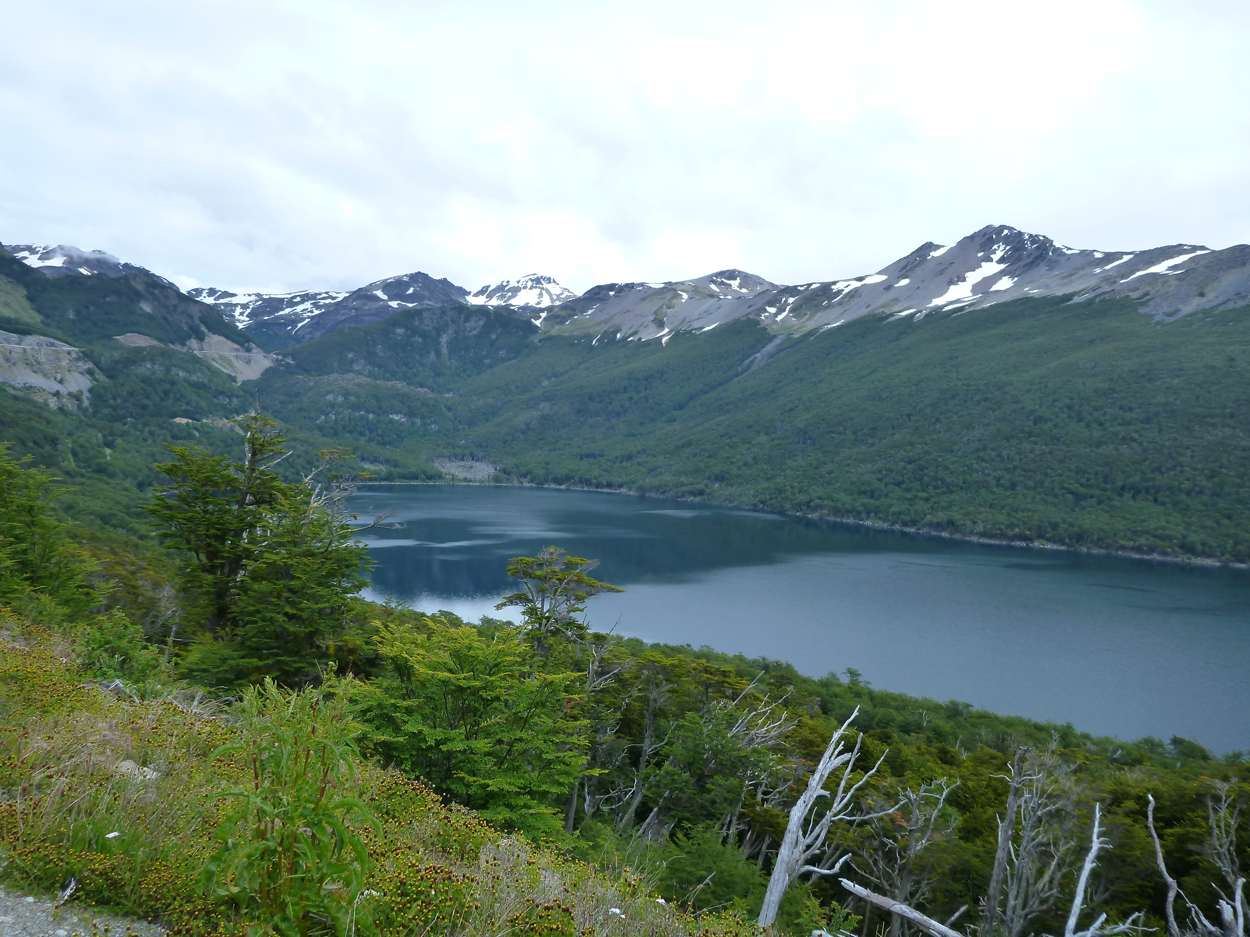
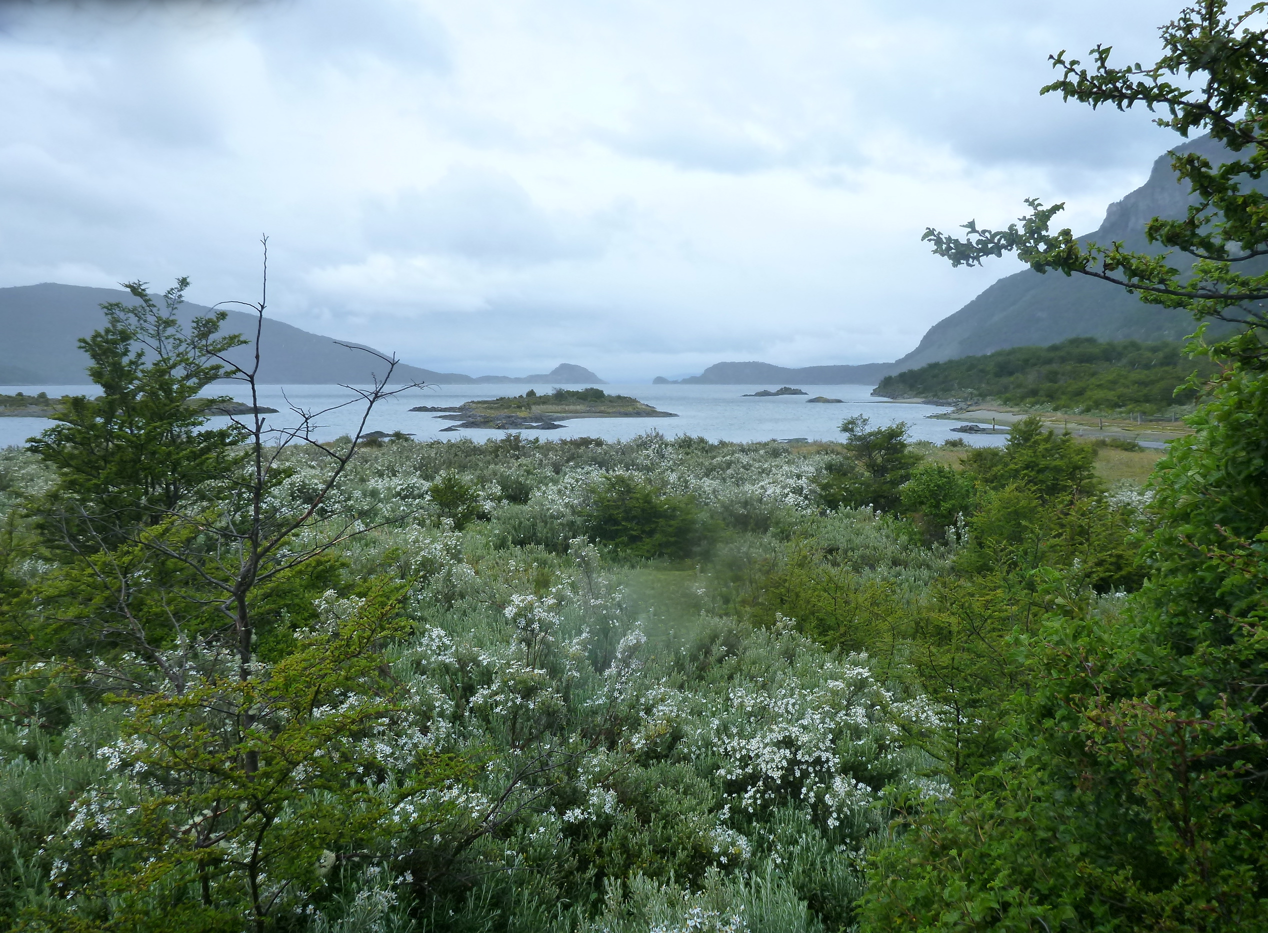
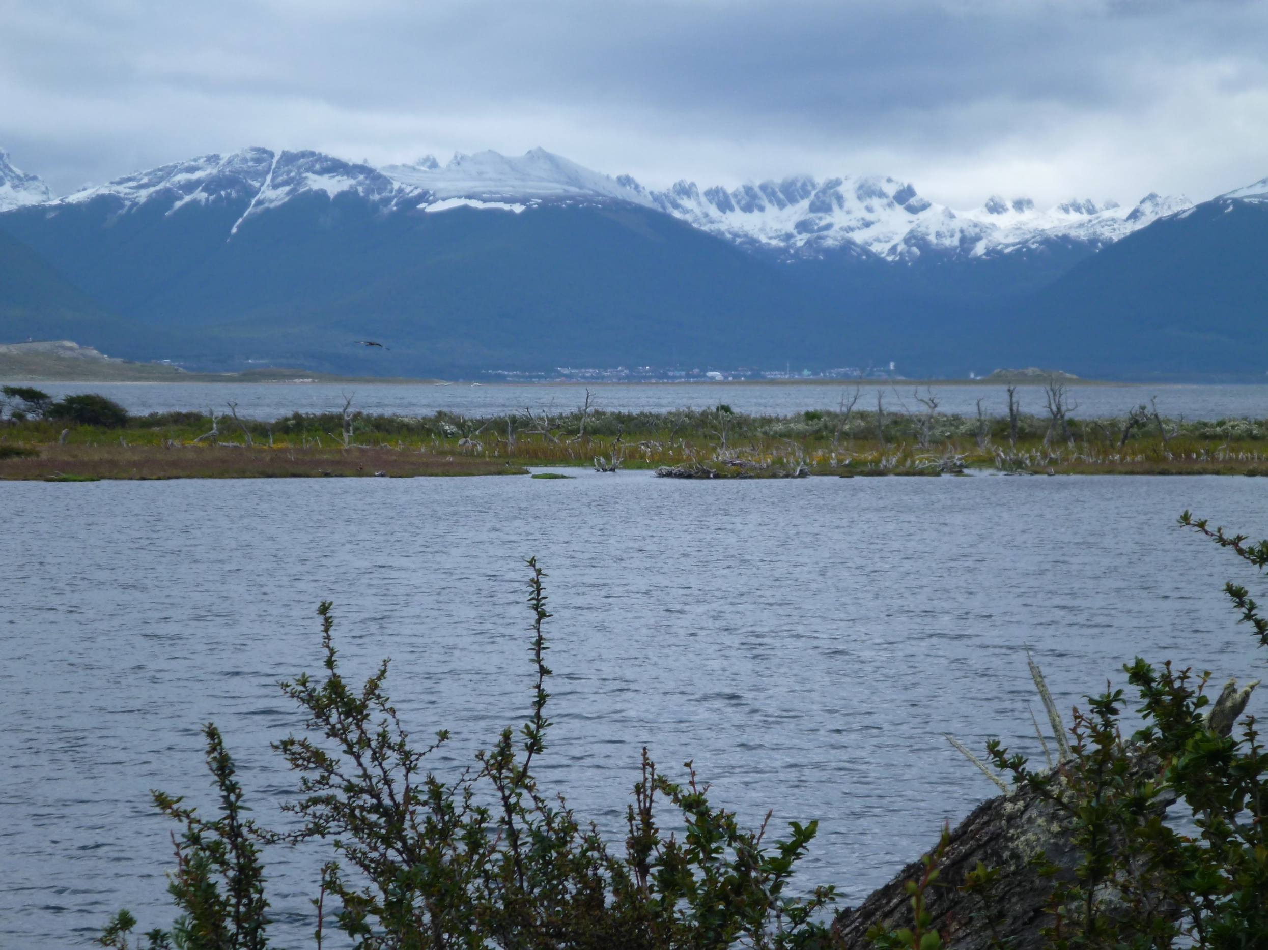
From Tolhuin Route 3 follows the Southern shore of Lake Fagnano for a while before it crosses a wooded high plateau to Lake Escondido and finally climbs a few hundred meters of altitude to Paso Garibaldi.

Lake Fagnano
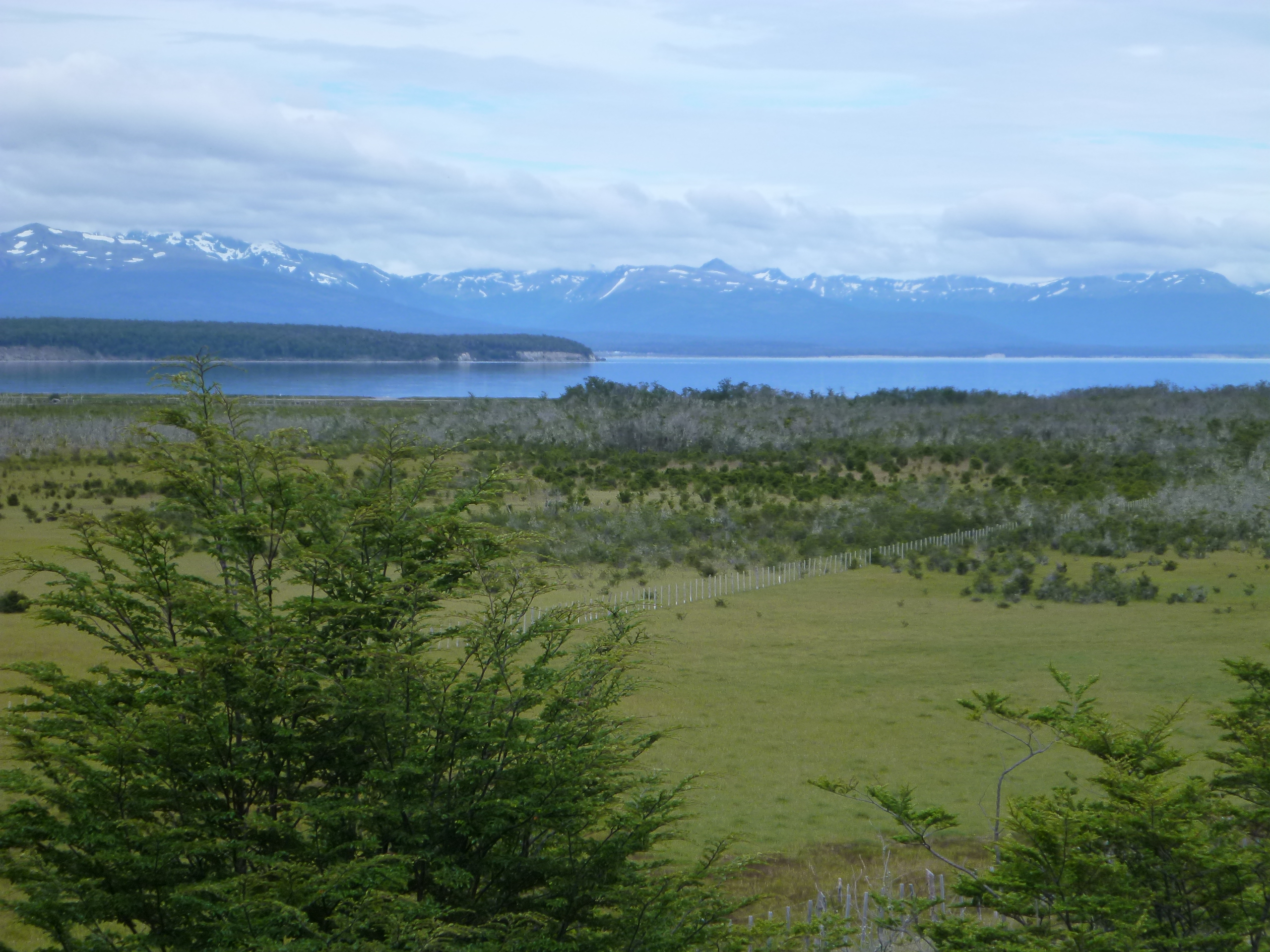
Lake Fagnano
Lago Escondido
At the lookout on top of the pass I catch up with bikers from Brazil, a solo rider on a Yamaha 750 Teneré from the early 90s and a couple on a Harley. Odd combination, but they have traveled together all the way from Southern Brazil.
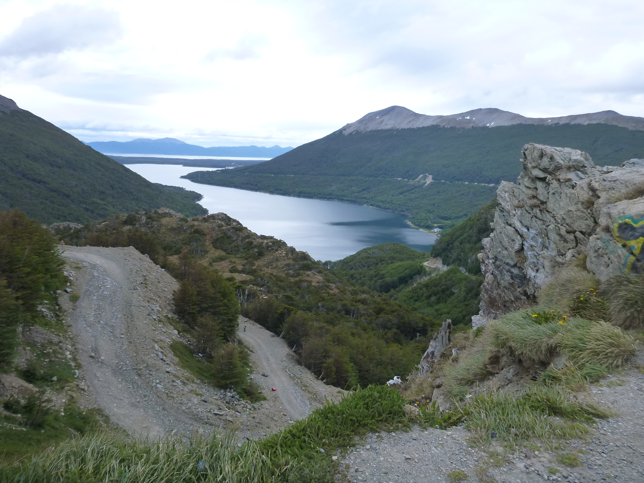
Paso Garibaldi
We follow each other for the rest of the way to Ushuaia and take the mandatory pictures at the gates of town. Then we part ways again because I still need to find a place to stay, which turns out to be a difficult task. The town is packed with tourists! Finally I find a room at B&B Aves del Sur, but only for one night. Too bad because the place is really nice and homey and the owners are helpful and knowledgeable. Aves del Sur also has two nice cabañas in the backyard.

Made it! Ushuaia, the southernmost city on the planet
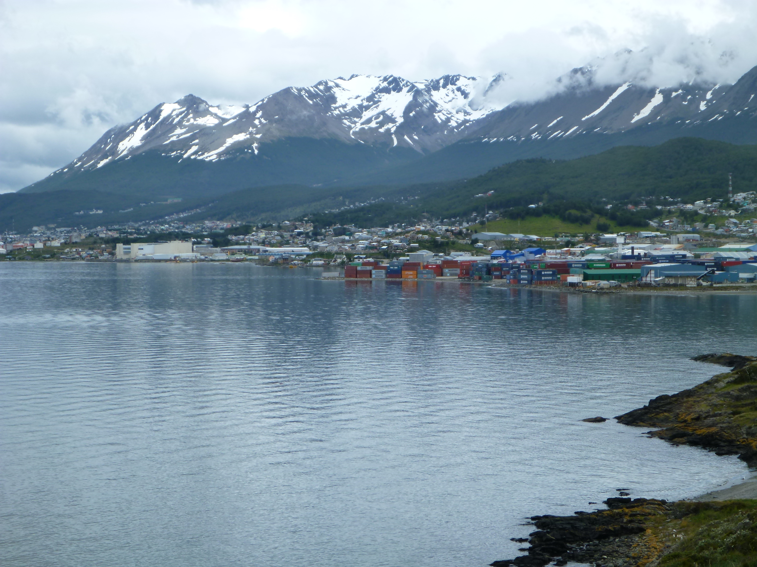
Ushuaia

My window at Aves del Sur and one of the cabañas
I’m not keen on repeating today’s odyssey tomorrow morning, so I venture out into the rain again to secure a room for tomorrow. Luckily I do find one at Hostal Michay only a couple hundred yards away. Not as cozy as Aves del Sur, but clean and reasonably priced.
As suggested by my hosts, I go to La Estancia for dinner – a traditional and apparently very popular Argentine parilla. My 20 minute wait is passing quickly thanks to a conversation with local native Julio, who needs a table for his whole family. He introduces me to his brother Gonzalo, a diplomat who is currently stationed in Moscow, but will soon move on to Berlin.
I opt for the tenedor libre, the Argentine equivalent of “all you can eat”. The buffet is good, but the real show is run by the grill master at his open fire. My first order of Patagonian lamb is so aromatic and succulent that I stop by twice for more. I’m sure his beef, pork, chicken and sausages are delicious as well, but I’m definitely hooked on the lamb!
Jan 09, 2014
Ushuaia/Parque Nacional Tierra del Fuego
Odometer 72075 – 72139
In the morning I haul my stuff to the other hotel. It’s freezing cold and the rain showers are chasing each other, driven by nasty gusts of wind. But hell no, I won’t stay in today! I put on all my gear and get going, destination Parque Nacional Tierra del Fuego.
At Ensenada Zaratiegui, the rough weather provides a truly authentic fuegeño experience, convincing me to take refuge for a warm-up and a snack at the park’s visitor center a few km down the road.
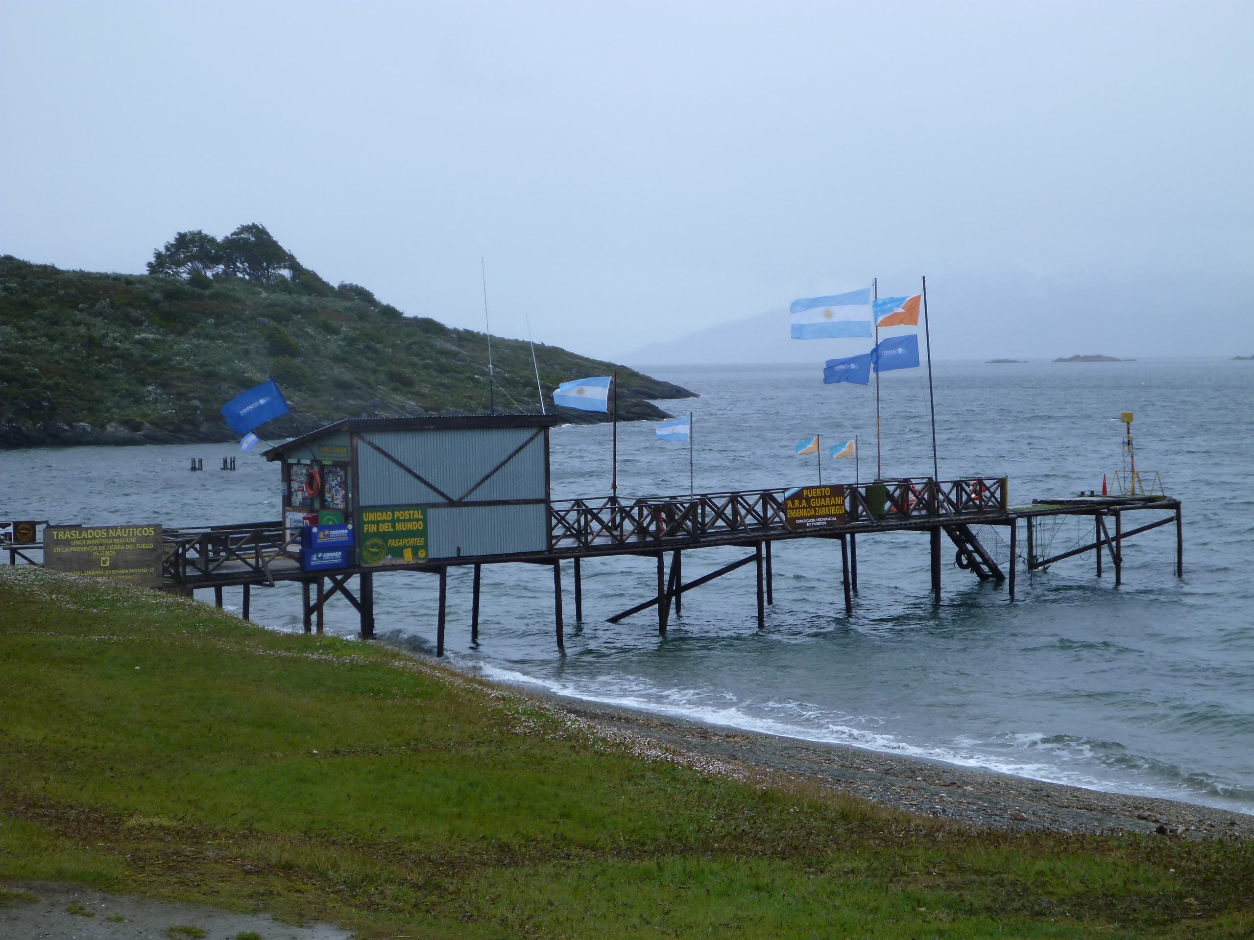
Parque Nacional Tierra del Fuego – Ensenada Zaratiegui

Parque Nacional Tierra del Fuego – Ensenada Zaratiegui
Good thing I stopped at the center, otherwise I would have missed the very instructive and well-designed museum. The first level provides an overview of the geology, nature and colonial history of the region. The second level is exclusively dedicated to the island’s four native tribes, who were wiped off the face of the earth in only a few decades by inept “civilization” attempts and brutal persecution for “hunting” the sheep of the very farmers who had invaded their hunting grounds in the first place.
By means of four little model landscapes surrounded with explanatory posters and displays of typical artifacts, the exhibit is explaining the four tribes daily lives and rituals and is telling the sad story of their extinction. Small in numbers, but quite distinct in appearance and habits, those people were amazingly well adapted to the hostile environment, skilfully using the scarce available resources to build boats, tools, hunting weapons and items of daily use. Most unbelievably, one of the tribes was walking around pretty much naked all year round, in this freezing weather!
As I emerge from the windowless museum, the rain has taken a break and the sun is even peeking through the clouds here and there. Pleasantly surprised, I continue my ride.

Parque Nacional Tierra del Fuego

Parque Nacional Tierra del Fuego

Parque Nacional Tierra del Fuego

Parque Nacional Tierra del Fuego

Parque Nacional Tierra del Fuego
At Lapataia Bay I have reached the end of Highway 3, only a stone’s throw from the Chilean border. On the parking lot I’m almost stalked by a red Fuegan fox – a deplorable consequence of tourists feeding the animals in defiance of the ubiquitous signs prohibiting it.

Parque Nacional Tierra del Fuego
Parque Nacional Tierra del Fuego – Bahia Lapataia

Fuegan fox – Parque Nacional Tierra del Fuego
On the way back I make a last stop at Lago Roca. At first I don’t quite trust my eyes: Am I really seeing the head of a sea lion emerge from the water? A sea lion is a maritime animal and isn’t has no business showing up in a freshwater lake! But obviously, the beast doesn’t care much about my zoology books. A few moments later it is surfacing again, this time with a big fat fish in its mouth. I stay put for a while, watching the maverick animal have a ball feasting on the lake’s abundant trout and salmon.

Parque Nacional Tierra del Fuego – Lago Roca

Parque Nacional Tierra del Fuego – Sea Lion in Lago Roca
Before I return to the hotel, I take a detour up to the base station of the chair lift to Martial glacier. The lift is already closed, but I probably didn’t miss much since most of the glacier is wrapped in clouds. I’m compensated by the panoramic views from the road.
Martial glacier

Ushuaia and Beagle channel from access road to Martial glacier
Dinner with a tasty centolla (king crab) risotto and a glass of chilled sauvignon blanc makes a for a worthy ending of the day.
Jan 10, 2014
Ushuaia – Estancia Harberton – Rio Grande
Odometer km 72139 – 72482
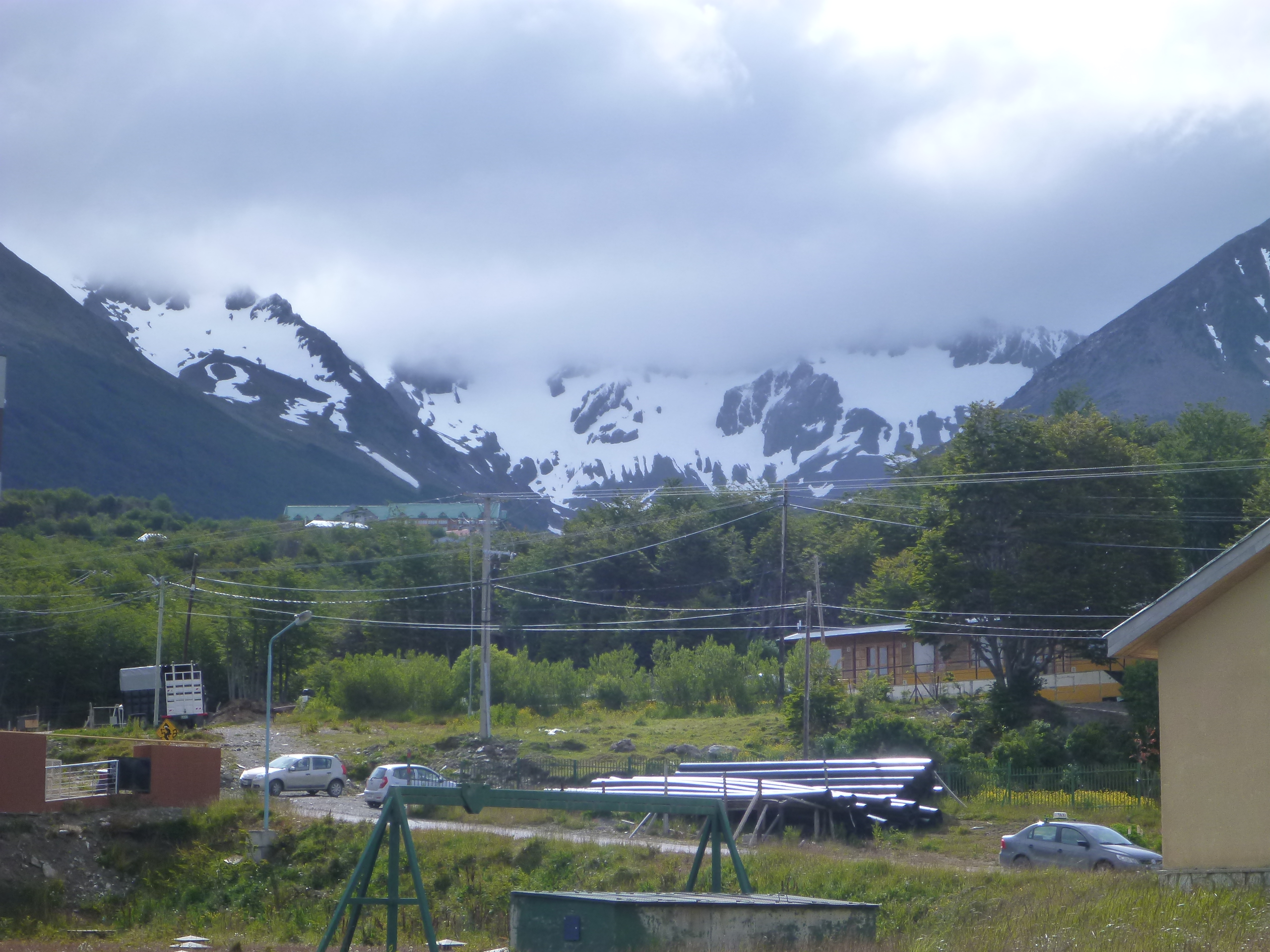
The day begins just as cold and rainy as the last one and the mountains show a fresh layer of snow right above the tree limit at 600m. However, yesterday’s experience keeps me optimistic – maybe the weather gods will be more lenient on me in a few hours…
and indeed, the first specks of blue sky begin to show by the time I get going.
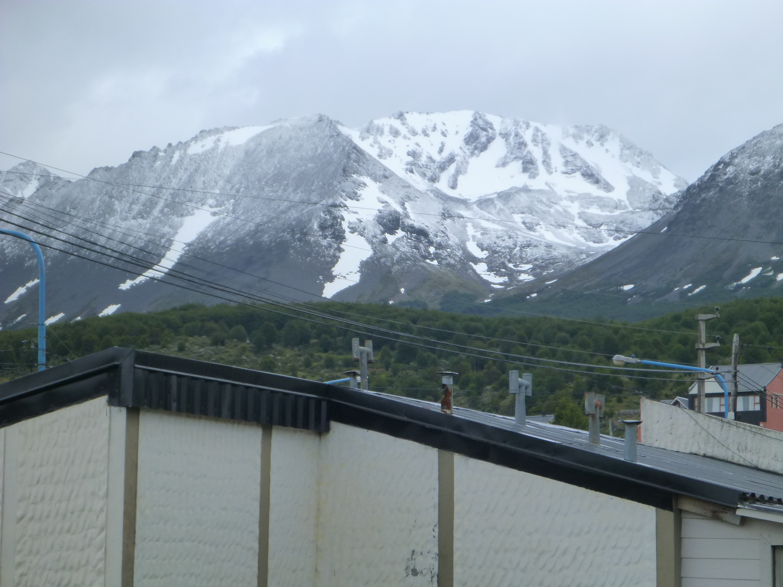
Morning snow

Bye bye Ushuaia!
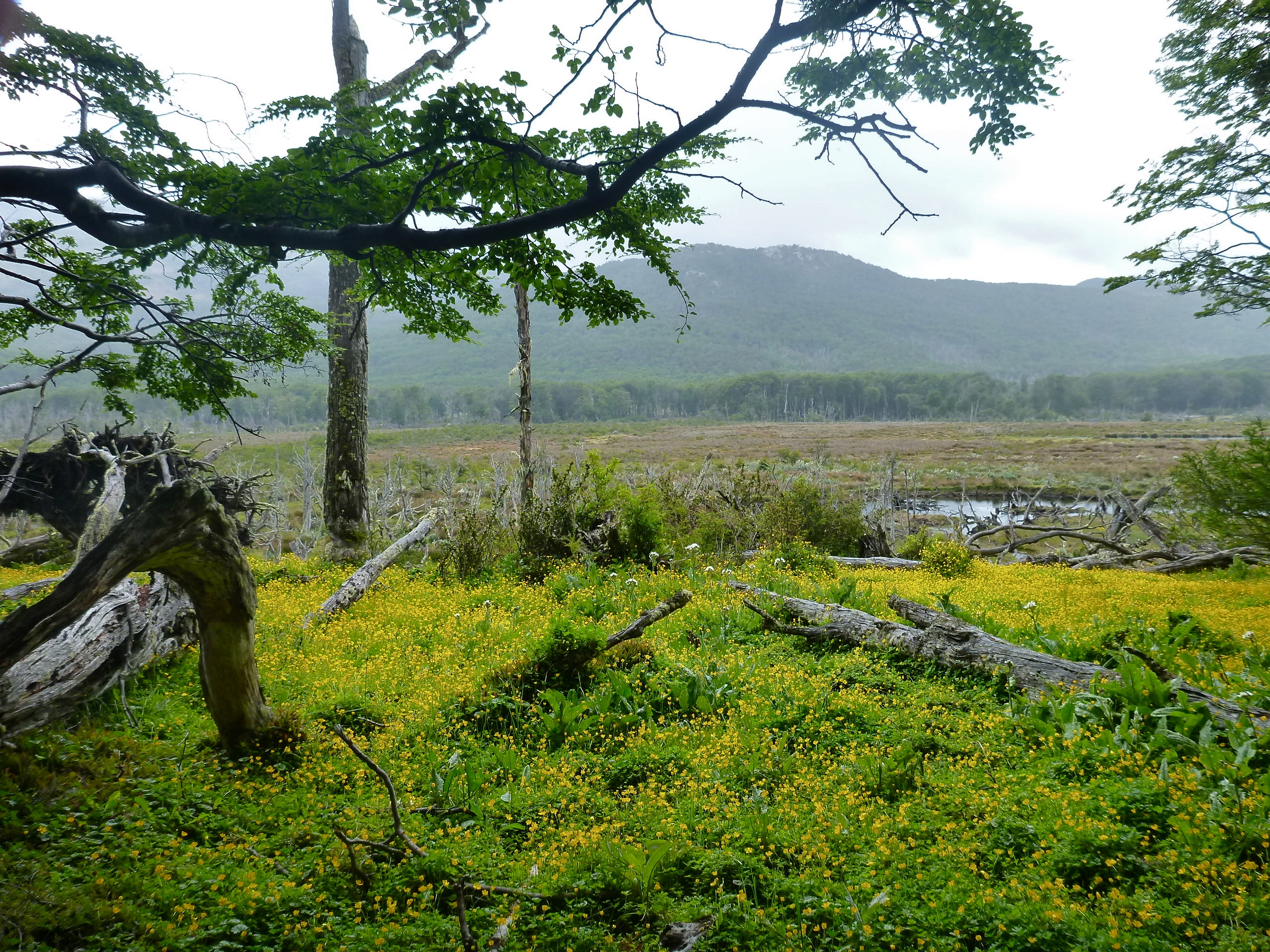
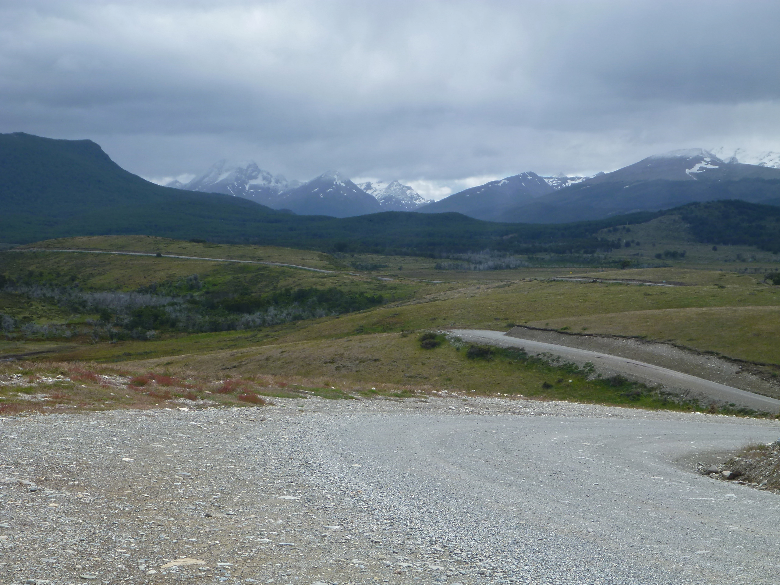
Leaving Ushuaia I follow Route 3 for about 40 km, stopping a few times for the grandiose views across the vast peat grounds of Valle Carbajal.

Valle Carbajal

Valle Carbajal
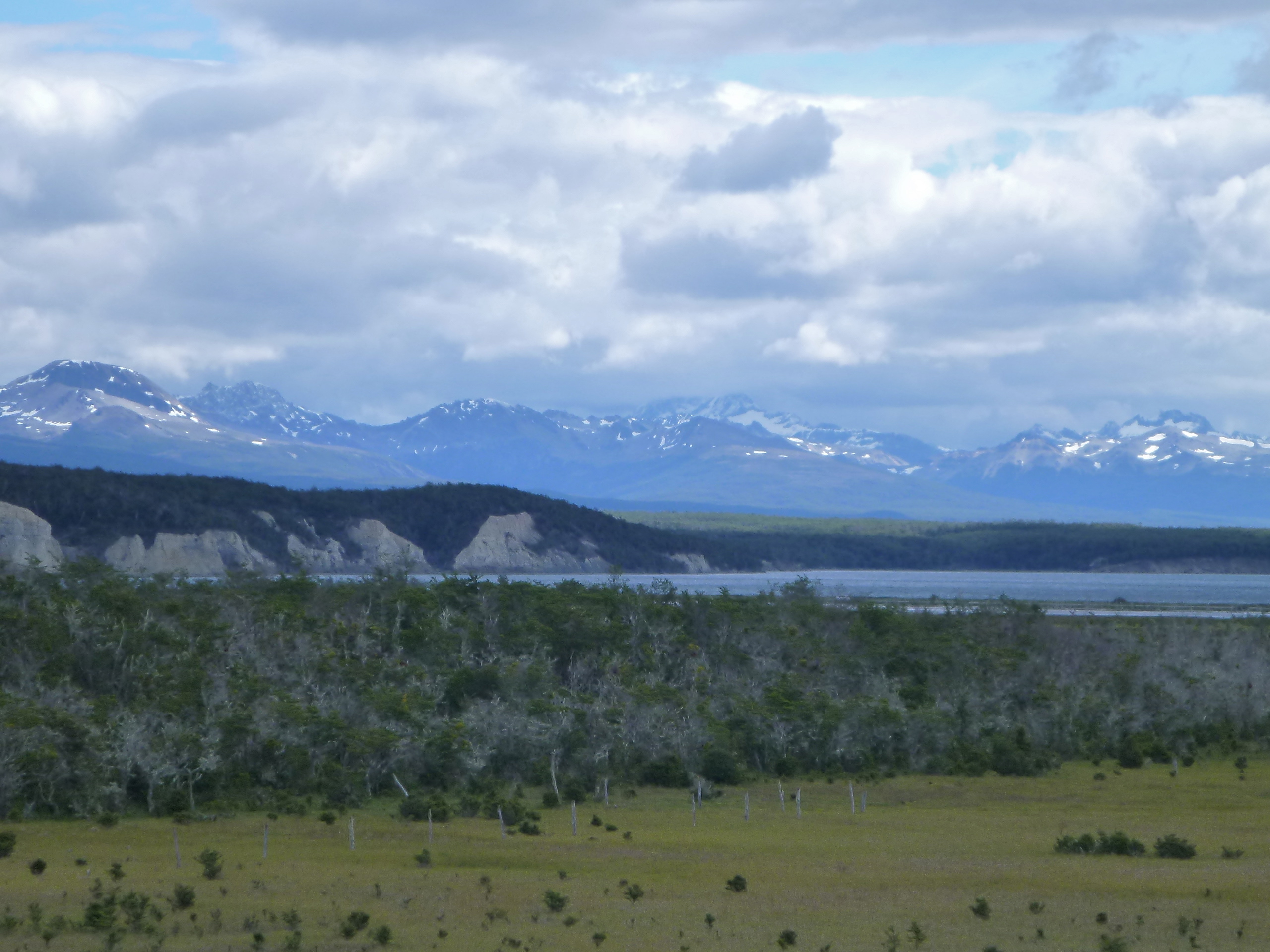
Then I turn right onto the gravel of Ruta J towards Estancia Harberton, founded by a family of British colonists four generations ago. They have established a natural reserve on their territory and offer a variety of touristic activities, all at quite elevated prices. And they can! The scenery and the nature are just marvelous…
To Estancia Harberton
To Estancia Harberton – View across the Beagle channel to Port Wiliams on Navarino Island

Beagle channel, from road to Estancia Harberton

Beagle channel, from road to Estancia Harberton

Beagle channel, from road to Estancia Harberton

Estancia Harberton

Estancia Harberton

Estancia Harberton
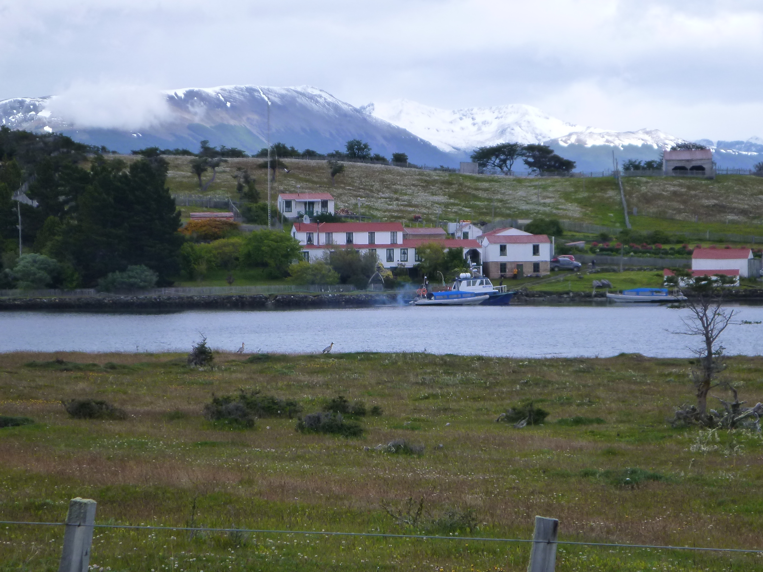
Estancia Harberton
I can’t get enough of the views and continue about 20 km past the Estancia before I turn around. On the way back I take a detour to Puerto Almanza to stop for lunch at La Mesita de Almanza. I found this little gem of a restaurant on the shore of the Beagle channel when I was browsing the web for things to do around Ushuaia. It’s a cozy place with two tables for four and one large table for 8-10 people. The menu is small but appealing, offering mostly fish and seafood. Definitely worth a few extra miles!

Estancia Harberton

Estancia Harberton
Road to Estancia Harberton

Beagle channel, from road to Estancia Harberton
Beagle channel, from road to Estancia Harberton

Beagle channel, from road to Estancia Harberton

View across Beagle channel from Mesita de Almanza

La Mesita de Almanza
Once I’m back on Highway 3, I’m progressing quickly to Rio Grande, stopping once to fill my tank from the canister because I might not quite get there with the gas in the tank.
Finding accommodation in Rio Grande is made easy by friendly local Horacio Miranda, who guides me from the gas station to a hotel with his car. As I unpack my stuff I realize that my camera bag with the cable and the charger is missing. Damn! I must have lost it when I pulled the canister out of my tank bag! I get on the bike and ride the 35 km back to where I filled up, always checking the roadside for the little bag, but no success. The only consolation: I still have the camera and all the pictures and tomorrow in Punta Arenas I might have a shot at getting an affordable new camera or even a replacement charger.
Jan 11, 2014
Rio Grande – Punta Arenas
Odometer km 72482 – 72732
The Magellan Strait
90 km of Argentine asphalt to the border in San Sebastian are followed by 130 km of lonely Chilean gravel that taking me across the barren North of Tierra del Fuego island to Bahia Inutil and then along the northern shore of the Magellan strait to Porvenir.
On the last 100 km to Porvenir I only see one car. Once I stop for to chat with a French couple in their mid-60s coming the other way on heavily packed bicycles. The started their tour last August in Lima, Peru… somehow the cyclists down here always make me feel like a bloody wimp!

The French bikers
Entering Porvenir, my peripheral vision is catching someone waving at me from a side street. I slow down to take a better look and indeed: The nice man I met at the gas station in Cerro Sombrero, standing in front of his house, waving. Small world! I turn around to say hello, chat for a while and exchange contact information to send each other pictures.

At 2 PM I say goodbye to Tierra del Fuego. In 2 1/2 hours the ferry takes me across the Magellan Strait to Punta Arenas. At the outlet stores right next to the harbor, 90 US dollars buy me quite a decent new camera. Yay! No blog without pictures!
Approaching Punta Arenas

Love it…what a nice trip!!
Un abrazo.
terrific
Eric
Eric Tomlinson tomlie@aol.com 404.663.0929
HI Michael,
das ist ja ein Traum!!!! Disfrútalo a tope!!!! Super wenn man sich seine Träume erfüllen kann :-)…
Besos
Antje
Pingback: New national park in Chile | Dear Kitty. Some blog
Michael – What a wonderful account of your travels. So jealous. Loved it. Glad things are going well for you. Looking forward to your next post.
Best,
Michele